This summer, I travelled to Canada for the 15th International Geography Olympiad (iGeo) – a global competition that challenges the best 16 to 18-year old geographers from across the world – as part of Team UK. This year (2018), the event was based in Quebec City in Quebec, Canada – which was a terrific base, allowing us to appreciate the area’s human and natural landscapes through fieldwork activities and excursions.
It’s been exactly 3 months since iGeo 2018 was declared open, and I’m delighted to share a glimpse into my experiences at the Olympiad, through a mixture of diary entries and subsequent musings.
Day -1 – Monday 30th July – Travelling to Canada
As I’m writing this, I’m jetting off to Manchester on my first leg to Québec City.
Why am I going to Québec? To compete in iGeo, the 15th International Geography Olympiad - which is an annual international competition between the best young geographers around the world.
This has been an aspiration of mine for a while, and it’s truly exciting to be embarking on this amazing opportunity at last!
Canada here I come.
It’s time.
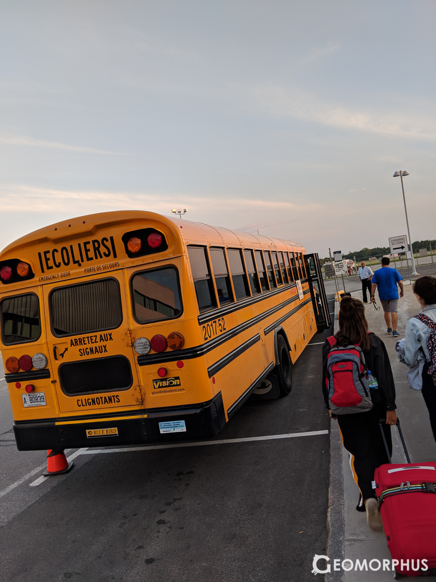
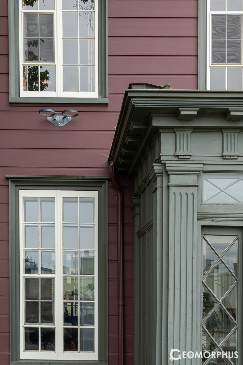
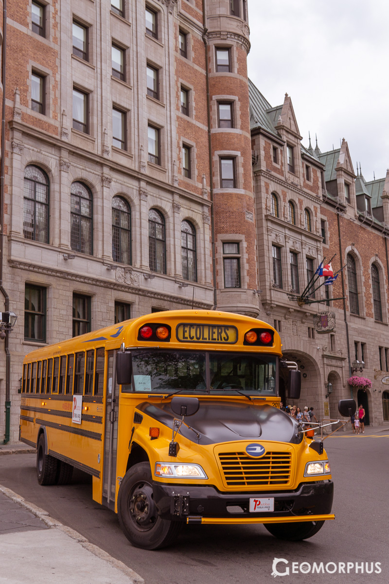
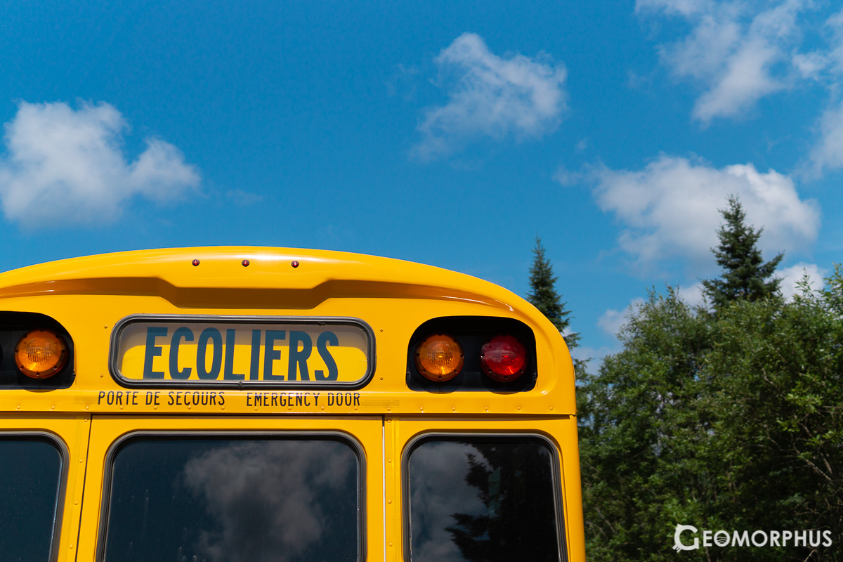
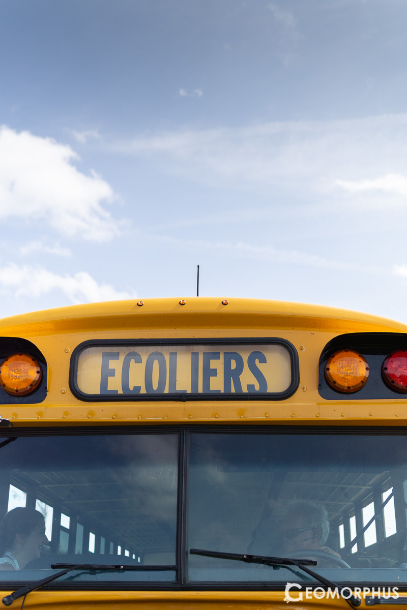
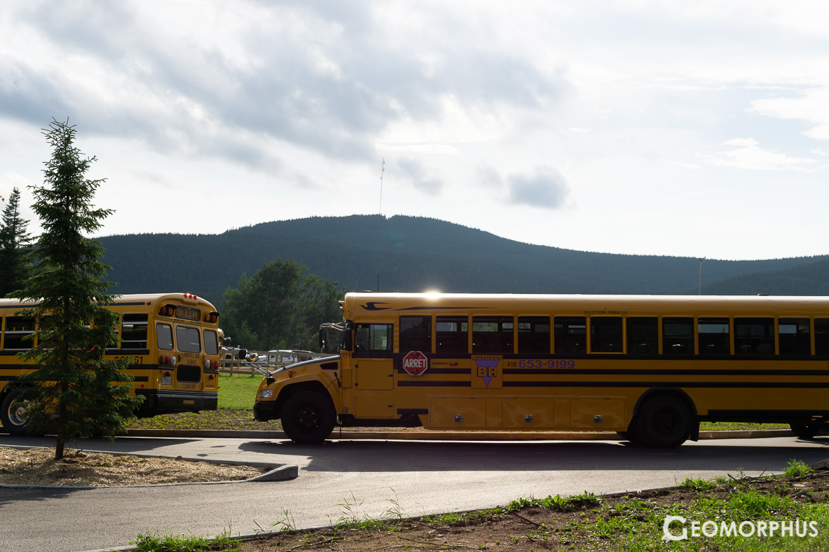
3 flights later, the iGeo adventure kicks off in Toronto Pearson International Airport, Canada, as we bumped into Denmark and later New Zealand on the plane to Québec! After grabbing our bags, the journey to the airport to Université Laval was a special start to the week, taken on the iconic yellow school bus.
After check-in to the accommodation (university halls of residence), dinner (in the conveniently close mall) and a root beer (my favourite drink, which I’ve only seen in the wild in North America), it was time to get ready for an exciting week!
Day 0 – Tuesday 31st July – Opening Ceremony
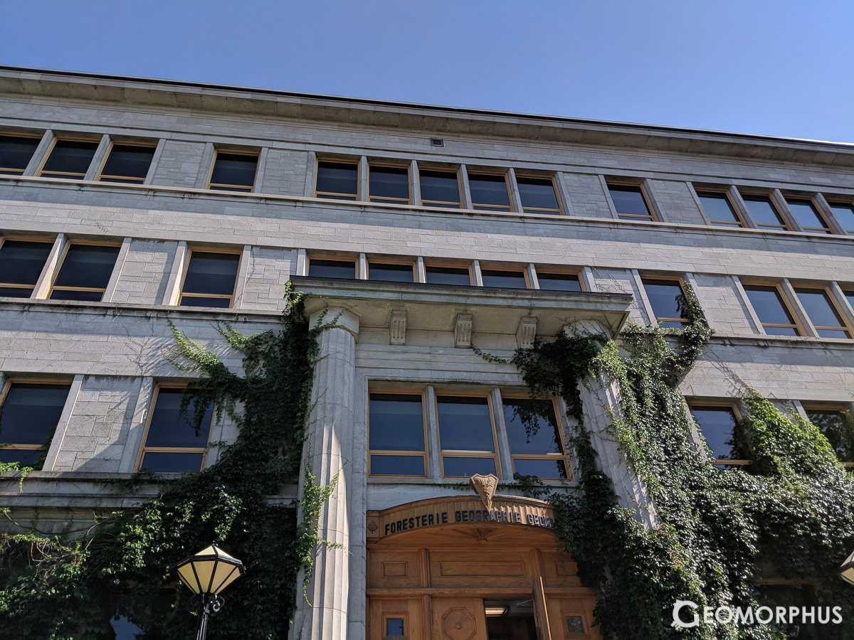
Day 0 of the 15th International Olympiad begins! After recovering from our flight (thankfully I didn’t suffer too much from jetlag), we headed off to explore the lush, green campus and find something to eat.
After breakfast we chilled out and met Team New Zealand - it really fascinating learning about their culture and the education system
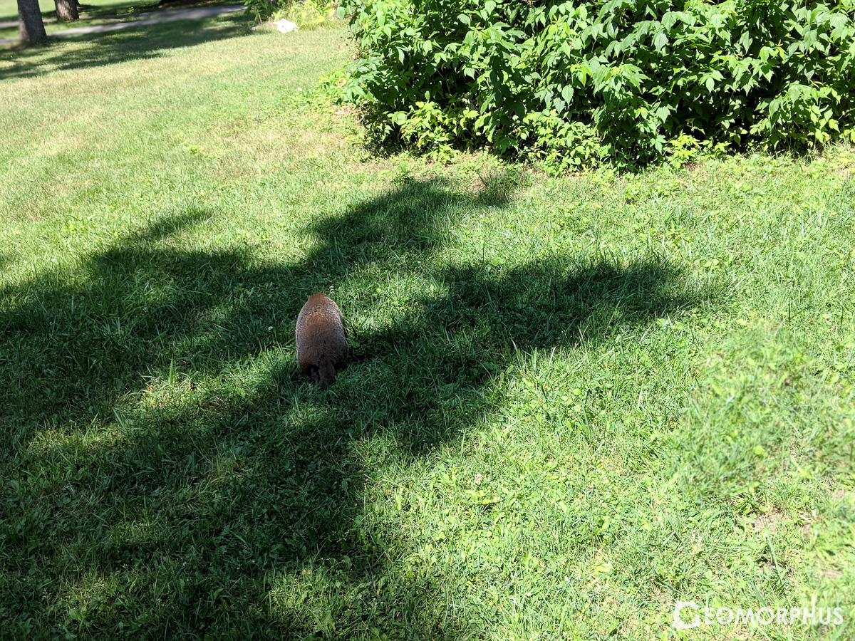
From there, I did some preparations for the following day’s written test, before enjoying a lovely lunch on the grass with the team – with the University’s marmots keeping us company!
After registration we had a short campus tour (Laval is so green!) where I talked to a few of the guys from Team Russia and Team Lithuania, truly fascinating learning about their counties and getting to know them.
The Université Laval Campus tour kicked off the iGeo intercultural communication, as we talked throughout the tour, gaining an enhanced appreciation of the diverse countries of each country – a truly valuable insight. I will certainly remember the conversations I had that afternoon for a while, however brief they may have been.
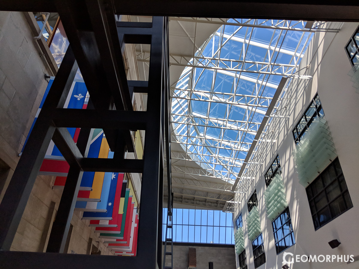
After meeting everyone and getting my bearings on campus (which had some fantastic examples of modern architecture), we had dinner and got ready for the Opening Ceremony.
Dinner was really good, and [it was] super cool to talk to [talk to more of the teams and] learn [more] about their countr[ies].
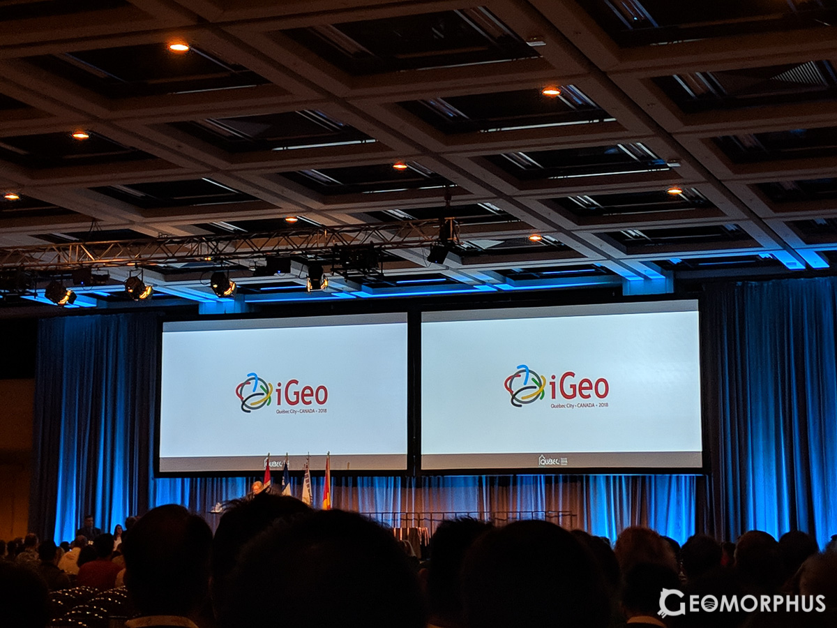
Dressed in our team uniform, we headed into the Pavilion Palasis Prince, where the ceremony would be held. Gathering in a large room, we got ready to walk on stage and continued our cultural exchanges between each-other.
There were so many of us at iGeo, and although I met many of the participants, I still wish I could have been able to talk to them all! For those I did meet though, I cherish our conversations from the Olympiad, as they gave me a really interesting insight into your cultures and countries!
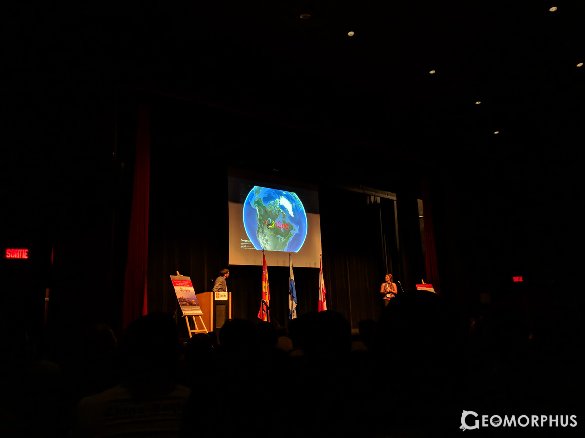
The opening ceremony is definitely something that I’ll remember – [being] a truly special gathering of over 40 countries, and an indication of the importance of the young and our future in the global community. [It was] awesome to see all the teams and learn about Canada’s watersheds and Québec itself. iGeo is now [declared] open.
Through the opening ceremony, we were introduced to each team in turn as we walked across the stage bearing our national flags (although, we forgot ours!), as well as being introduced to Canada’s major watersheds.
The impassioned speech by Professor Hatvany about the importance of us young geographers (and geography as a whole) for the future of the global community was a further inspiration to my decision to continue to study geography.
After the opening ceremony, we took a couple of team photos outside the building, before touching up on a couple of revision points for the following day’s Written Test!
Day 1 – Wednesday 1st August – Written Test
The day of the written test.
After a quick breakfast, and a quick revision recap, we headed to the Geography building for the written test – it was time to roll.
It was an interesting test […]
From the Rise of Airbnb to Glaciers, the written test had it all!
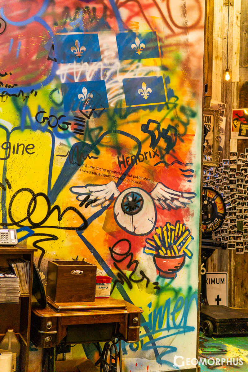
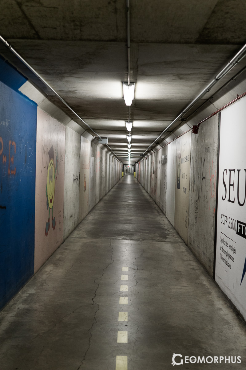
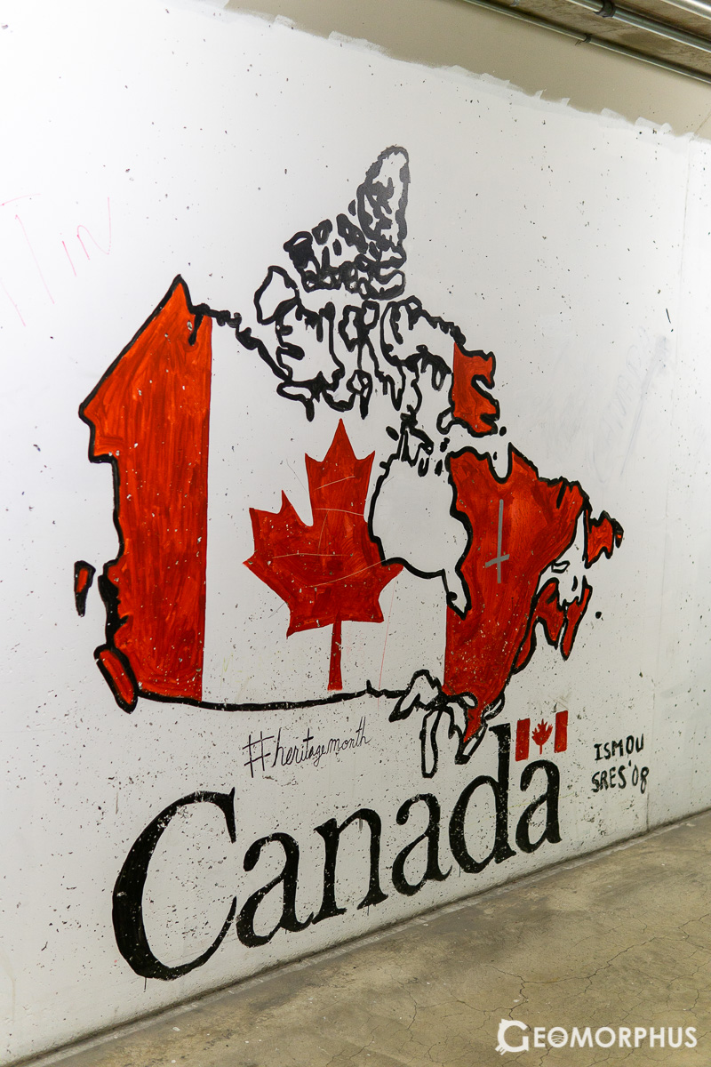
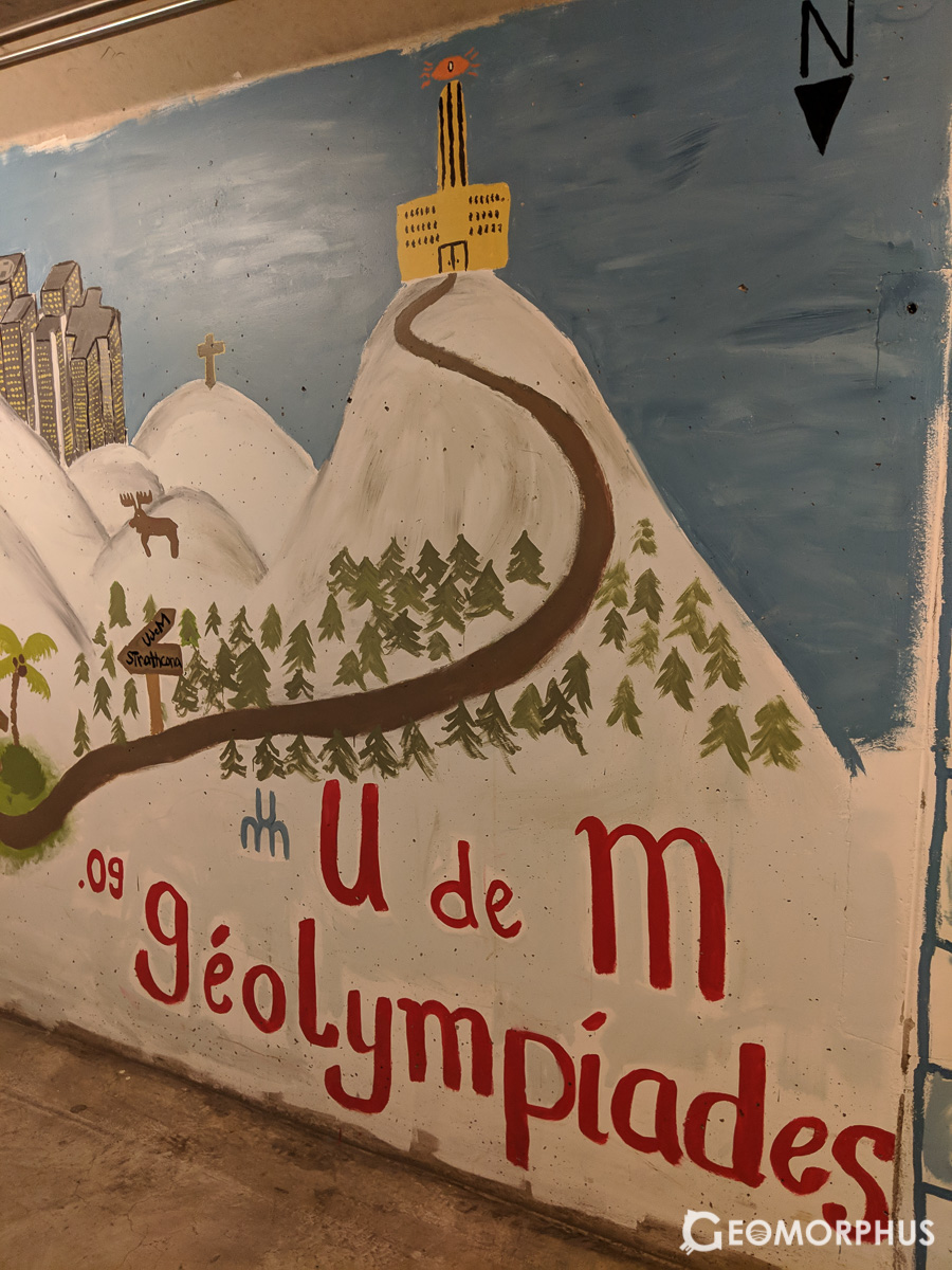
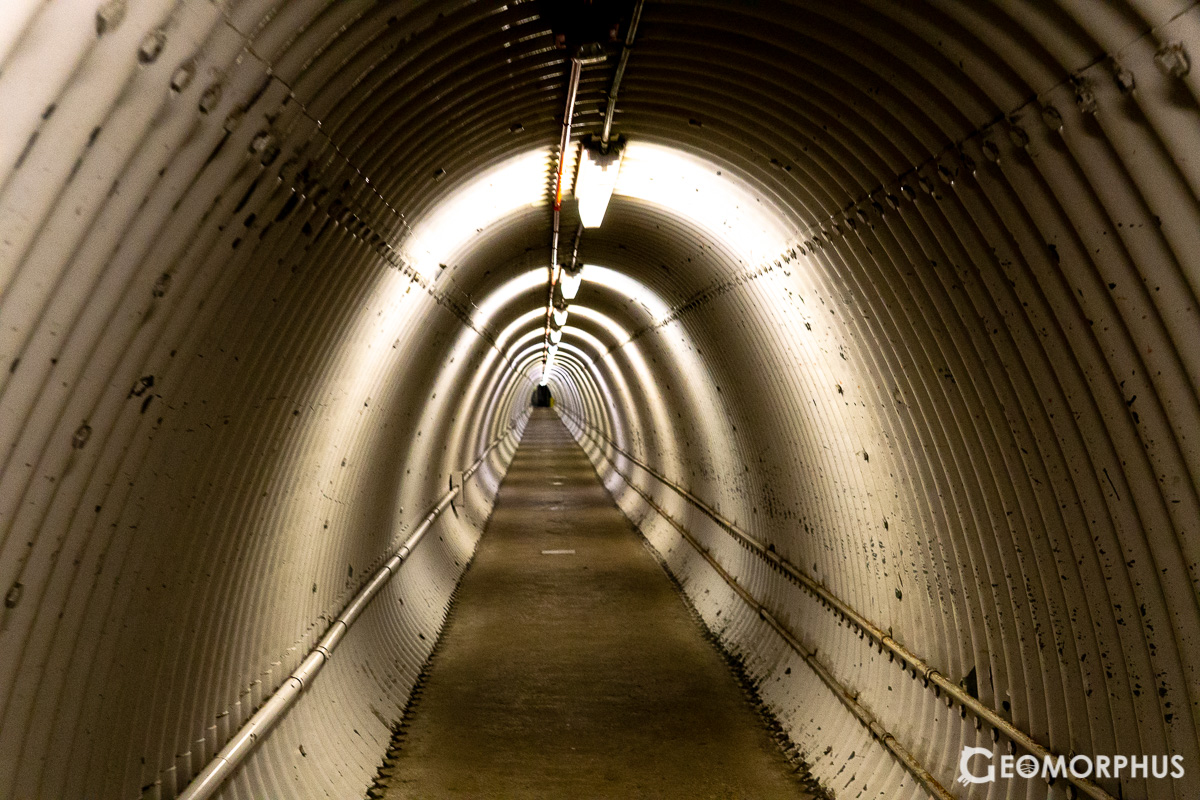
En-route to lunch, we discovered Laval’s vast 10km long network of subterranean passages, designed for winter commutes on campus. However, in the hot conditions this summer they were also a pleasant respite from the heat! The tunnel walls are covered with different murals and graffiti of note, some of which are pictured here.
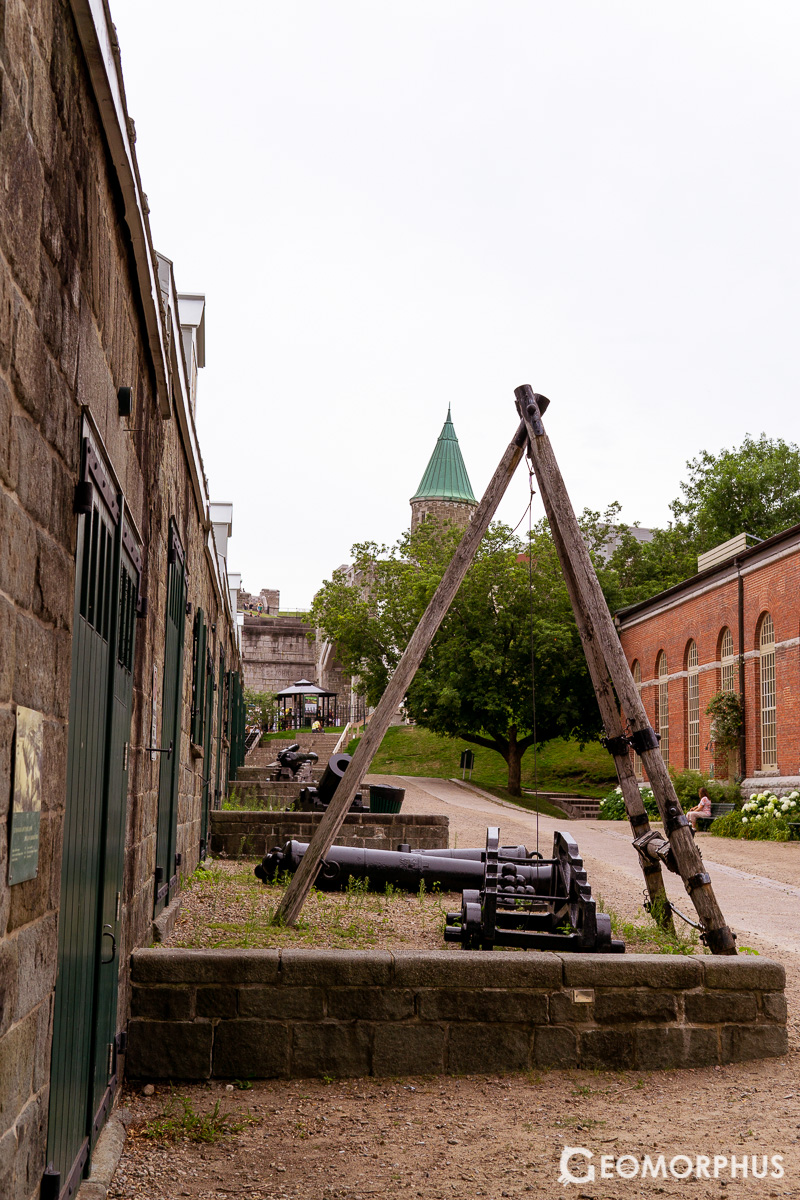
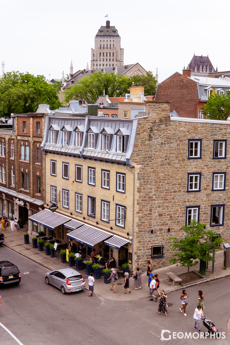
The excursion to Old Québec afterwards […] gave a fascinating insight into both the [province] and the town itself - along with being tons of fun on the yellow school buses there!
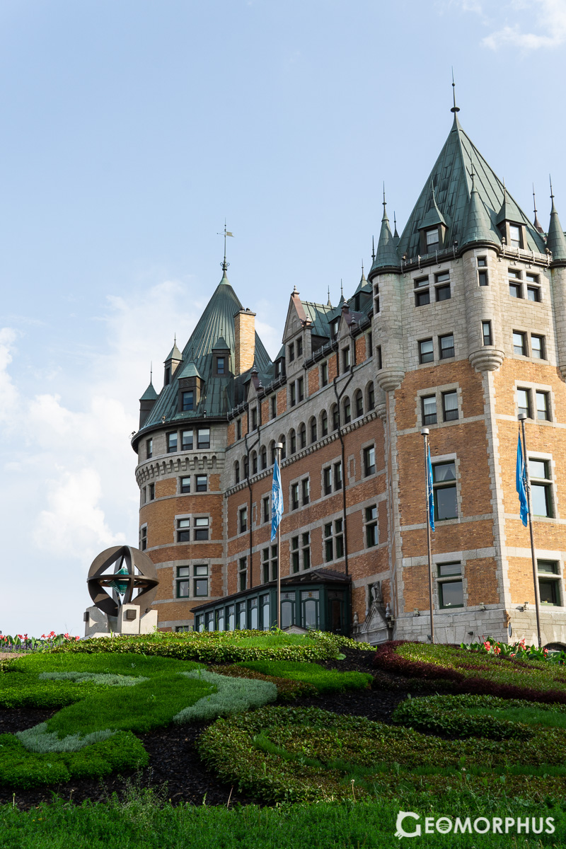
After a yellow school bus trip with Team USA and Turkey, we were dropped off at the majestic Fairmont Le Château Frontenac hotel. It was time for the iGeo GeoRally, and our first taste of Québec City. We were to explore its human and physical geography, the processes that shaped it in history and those that guide it today in direct context with our beautiful urban surroundings.
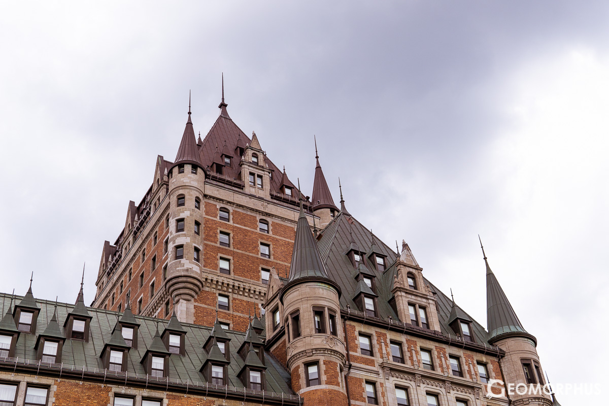
Fairmont Le Château Frontenac
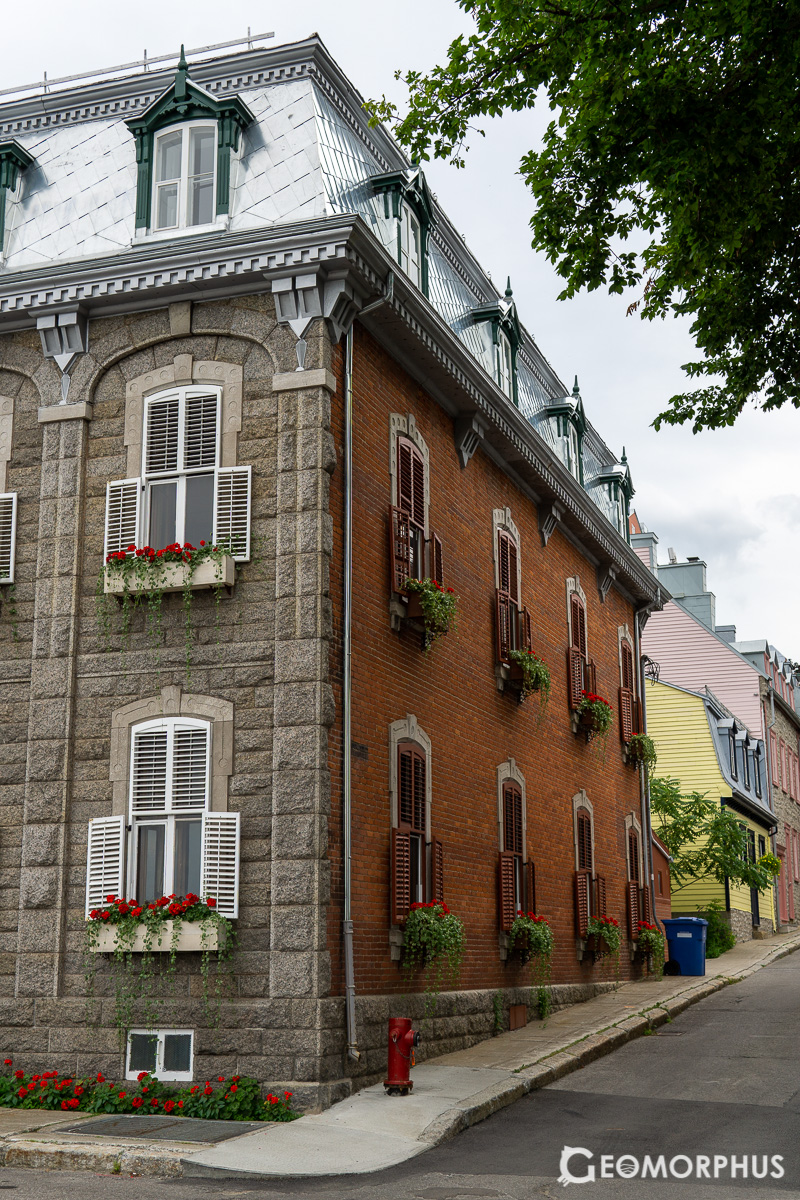
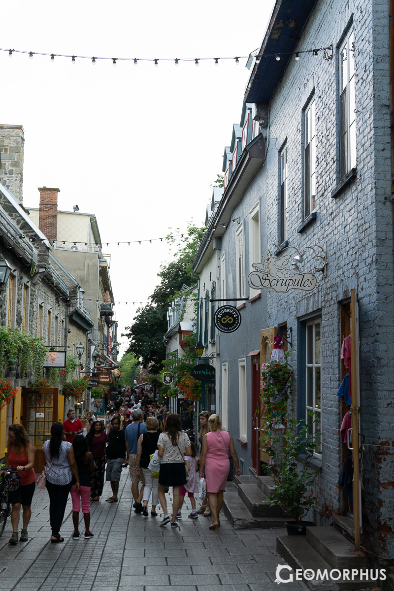
The ‘GeoRally’ brought us to the Vieux-Québec (Old Québec) area of the city, where volunteers from Laval talked us through the city’s history: from the impacts of migration, to the escarpments that divide the Upper and Lower town (a result of the fault between the Appalachians and the St. Lawrence Platform).
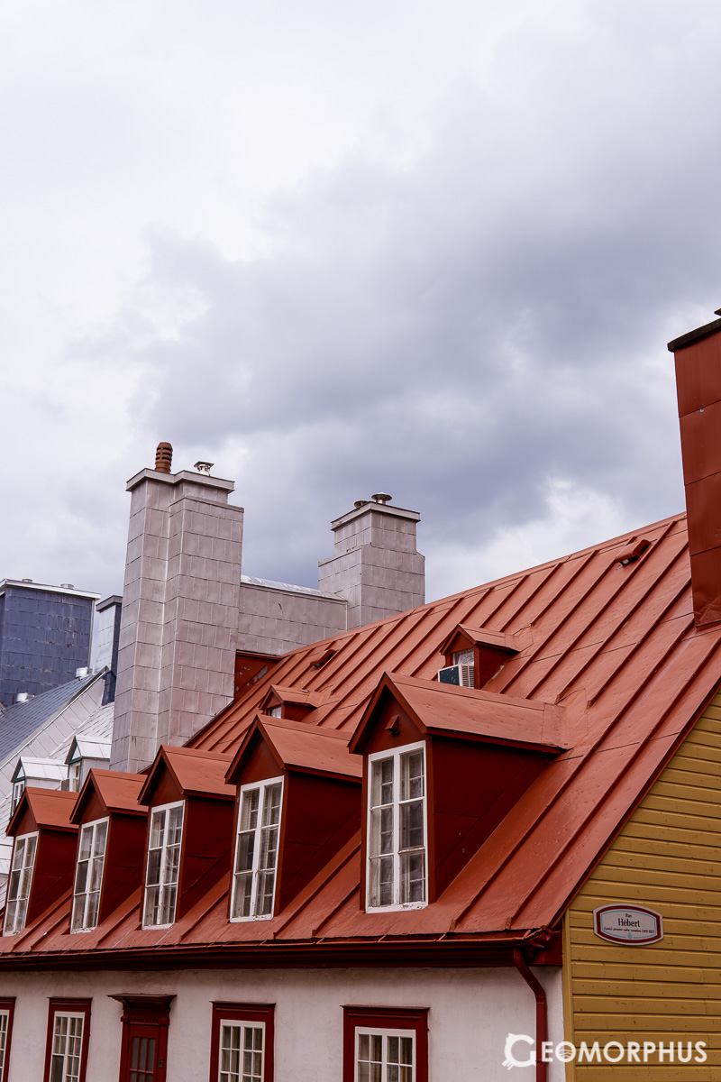
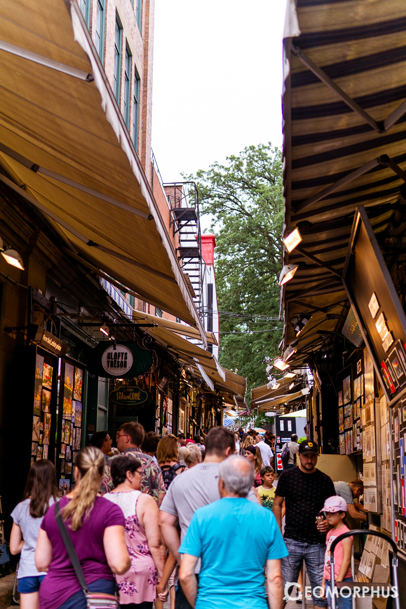
The historic area also has a dense network of beautiful cobbled streets, lined with boutique shops – making it both an informative and enjoyable afternoon.
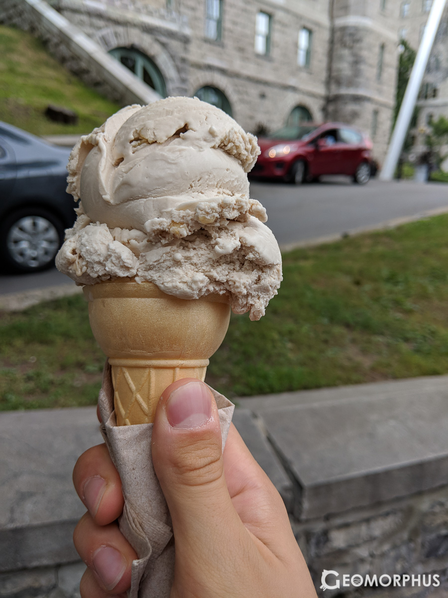
Glace à l'érable (Maple Ice Cream)
And yes, of course I tried the maple ice cream! It was exactly what I hoped it would be: [photo]
Returning to the Laval campus, we were briefed on the fieldwork exercise, although exactly where we were doing it was left largely unknown… apart from there being ‘uneven terrain’ at the forested site!
Day 2 – Thursday 2nd August – Fieldwork Exercise
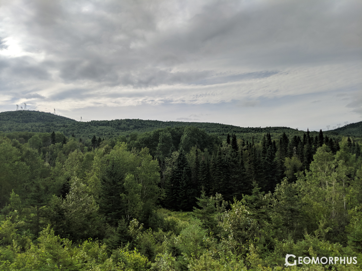
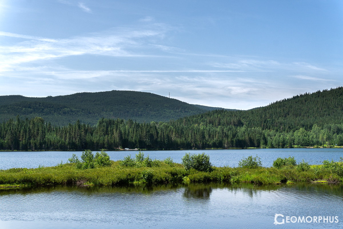
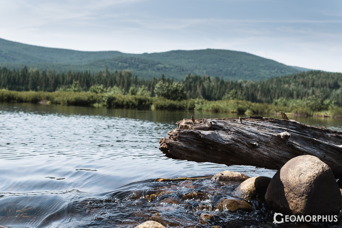
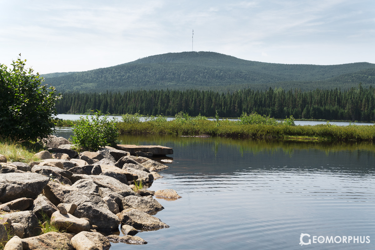
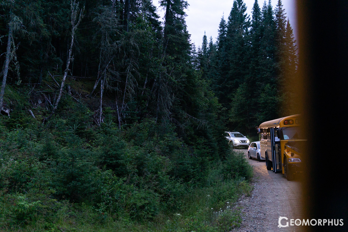
The drive there (as always, on the yellow buses) was stunning, as we headed north from Québec on Route 138, with vast Boreal forests to our West and the St Lawrence River to our East.
Talking to students from other countries on the bus there and back [was also] a really fascinating insight into the culture of countries I [previously] knew little about!
I absolutely gained an enhanced appreciation of our world’s different cultures through those conversations which I had with team members from all over the world that day in Quebec province.
The fieldwork exercise saw us collecting data in a variety of locations over the appreciation and management of cultural and natural landscapes.
The fieldwork exercise was spread over two sites. The first site was the quaint riverside town of Baie-Saint-Paul, which had a strong artistic heritage (and, as I later learned, was the birthplace of Cirque de Soleil!). It was very enjoyable surveying the settlement, as it was very different in form and appearance from British towns.
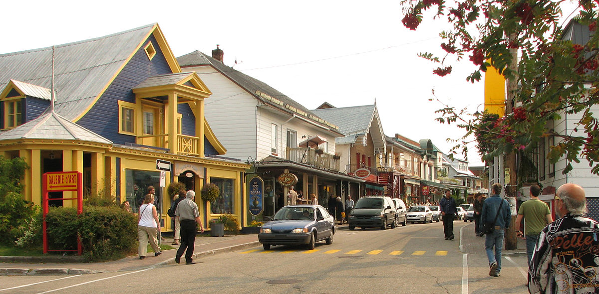
This image of Baie-Saint-Paul is by [Lezumbalaberenjena at English Wikipedia - Transferred from en.wikipedia to Commons., Public Domain, https://commons.wikimedia.org/w/index.php?curid=9379746] as we weren’t allowed to take photos during the fieldwork
The second site was at the river marsh and coastline of Boisé du Quai. This was also really enjoyable to survey, as the area had a pleasant mix of land-use and (uneven) terrain: from marina to forest, and from field to beach!
Both exercises involved land-use mapping and evaluating the significance of the environments to the local residents (as well as the features that were to their detriment).
The visit to Maison Mère from the Arena in our lunch hour was an additional surprise – as we were treated to a presentation about the institution, an address from the mayor and an insight into the Charlevoix crater which Baie-Saint-Paul, and the surrounding area, is situated in.
Day 3 – Friday 3rd August – Fieldwork Analysis
[This] Morning’s fieldwork analysis was surprisingly enjoyable - completing a map and a land use plan.
The following day, we sat our second exam, making more refined maps from our observations on the previous day and proposing ideas to improve the landscapes we visited to match the residents’ needs and preferences.
[Map C1](http://www.geoolympiad.org/fass/geoolympiad/2018/assets/FWE2_Map C1_2018iGeo.pdf ), [Map C2](http://www.geoolympiad.org/fass/geoolympiad/2018/assets/FWE2_Map C2_2018iGeo.pdf)
[As] was [exploring the long stretch of mall] with H. from Team Australia, [Team] New Zealand and [Team Poland] near us!
I also enjoyed an afternoon exploring the huge stretches of malls near us, which was a valuable opportunity to socialise with the members of Team Poland, New Zealand, Australia and the rest of my team.
The poster competition in the evening was [a really] special [event], [it was] really cool to present to academics and learn about the influence of water in countries from all over the world!
Team UK’s Poster at iGeo 2018
The poster presentation encouraged us to understand the influence of water in our own countries, and to appreciate its influence in different parts of the world, as we engaged with participants and academics from numerous participating countries. It was a fantastic opportunity for us participants to exchange gifts and foods with different countries, by meeting with people from across the globe.
This was a really valuable experience for me, as it broadened my geographic understanding on a global level, allowing me to further connect with the amazing people who I spent the week with.
Day 4 – Saturday 4th August – Multimedia Test
The multimedia test was the last test, assessing a broad range of geographical knowledge and our ability to interpret information. It was a challenging, but interesting, experience.
Learning about Canadian culture in the afternoon [was thoroughly enjoyable], [as was] presenting our [skits] in the evening! It was a really special evening sharing our performances and [socialising] with New Zealand (and Finland) [to name just a couple of countries] afterwards!
The cultural afternoon (run by the Royal Canadian Geographical Society) was a fantastic opportunity to get to grips with Canadian culture and geography. As part of this, we partook in numerous activities: from line dancing and singing Canadian songs, to surveying a massive floor map of Canada and learning about John Franklin’s lost expedition.
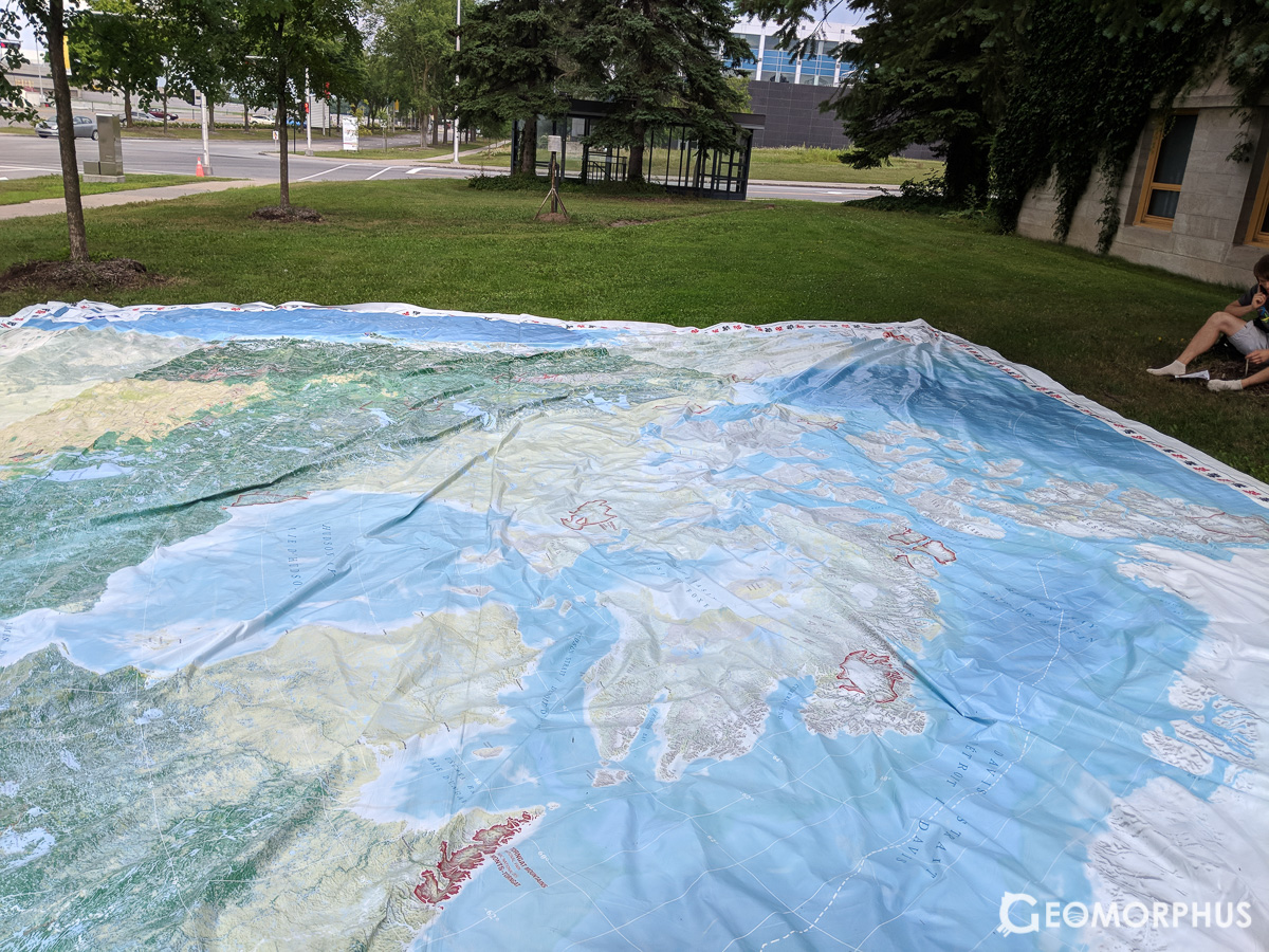
The huge floormat map of Canada
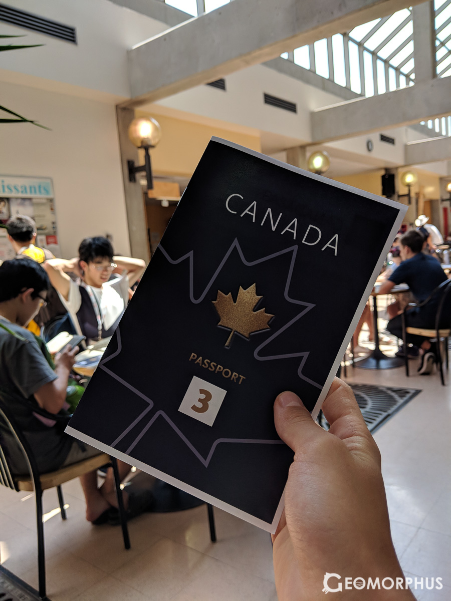
Our 'cultural passport' where we recorded our findings
https://open.spotify.com/track/5GFnVfSzWTJCLxBi0snVHd?si=yLF11ZvIQoim3q6f3dEL5g
This Land is Your Land (Canadian Lyrics) was just one of the songs we learnt to sing in the Canadian Cultural Session
https://open.spotify.com/track/0pdfN7nOHMYmKykzu1cyfm?si=i5tTAsagTTunF8UYVZaYjA
We also learnt to dance to the country classic, Any Man of Mine.
Then, in different multinational groups, we prepared a skit to perform to the other iGeo participants in the evening. We really enjoyed working as a team made up of people from all over the world, all while experiencing a slice of Canadian culture.
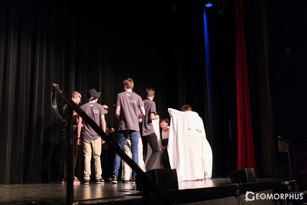
The evening as a whole was thoroughly enjoyable, our presentations full of singing, dancing and comedic drama. It was definitely a memorable experience, and a really nice way to unwind after the three academically rigorous tests.
(I also picked up a couple of maps, it seems that I just can’t get enough of them!)
Day 5 – Sunday 5th August - Forêt Montmorency
Heading off to the biggest university research forest in the world was quite the experience
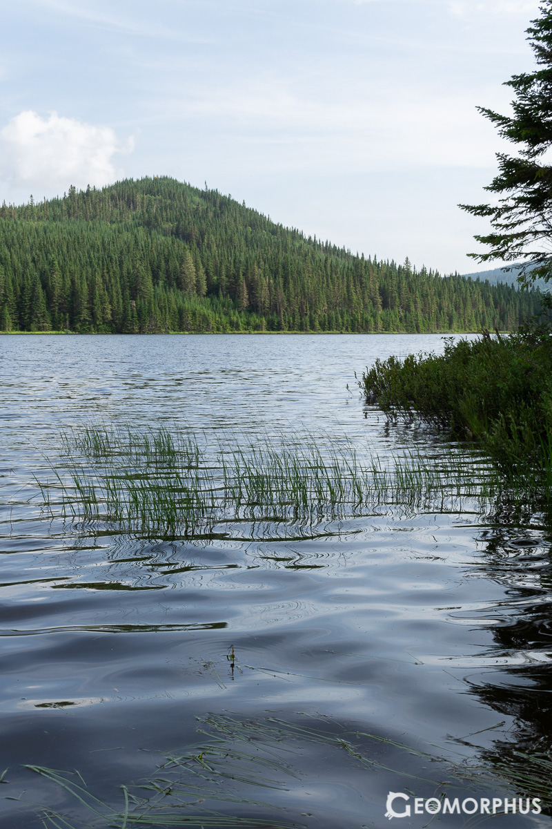
Clambering into the yellow school buses once more, we set off towards Université Laval’s luscious Forêt Montmorency – near Parc National de la Jacques-Cartier – which is a stunning example of a wet boreal forest. Itis also the largest teaching and research forest in the world, being a massive 412 km2 in size!
Once there, the geography began with a talk on forest nutrients and decomposition processes by a fantastic forestry student at Laval.
After lunch, [we learnt] some more about Forêt Montmorency - including Bird Tracking and LIDAR Mapping in drainage basins.
We spent an engaging morning and afternoon learning about the area’s geography and different aspects of forest management and research – from decomposition processes to mapping drainage basins using LIDAR! It was fantastic to learn about the forest we were standing in directly from the researches themselves, and to see how the research highlighted the application (and value) of geographical techniques in forestry research.
Walking to the lake for some swimming [was just a taste] of our lakeside experience that evening – [as] we later experienced an amazing faunal concert with boating musicians taking [on] the role of the animals in the region. [It was] a really heart touching experience, especially under the beautiful night sky right in the heart of Canadian wilderness.
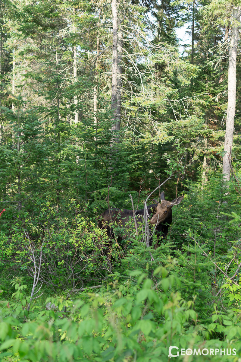
We even saw a moose by the lake, which was an amazing sight to see! This was in some ways an extension to the almost daily appearance of marmots, chipmunks and squirrels on the main Laval campus.
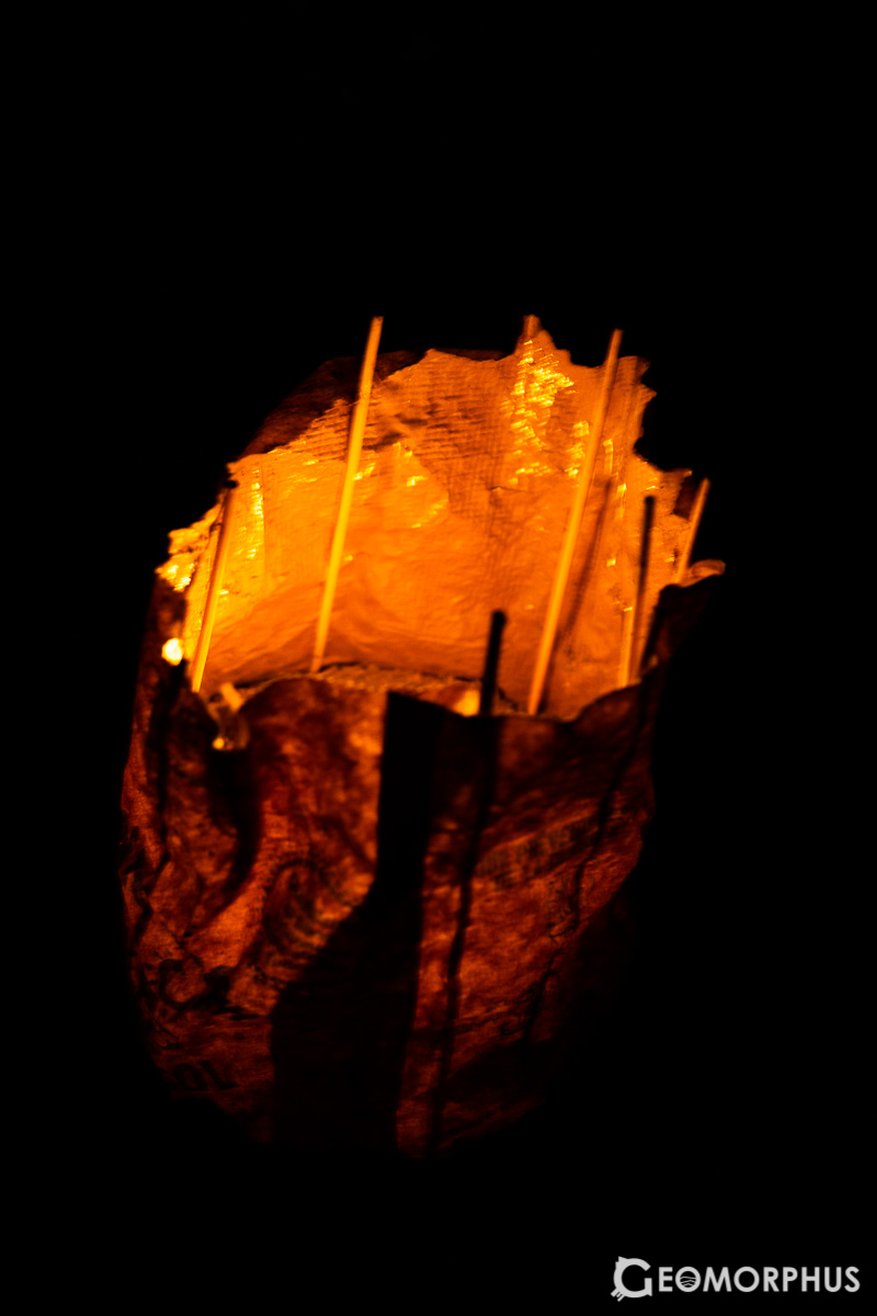
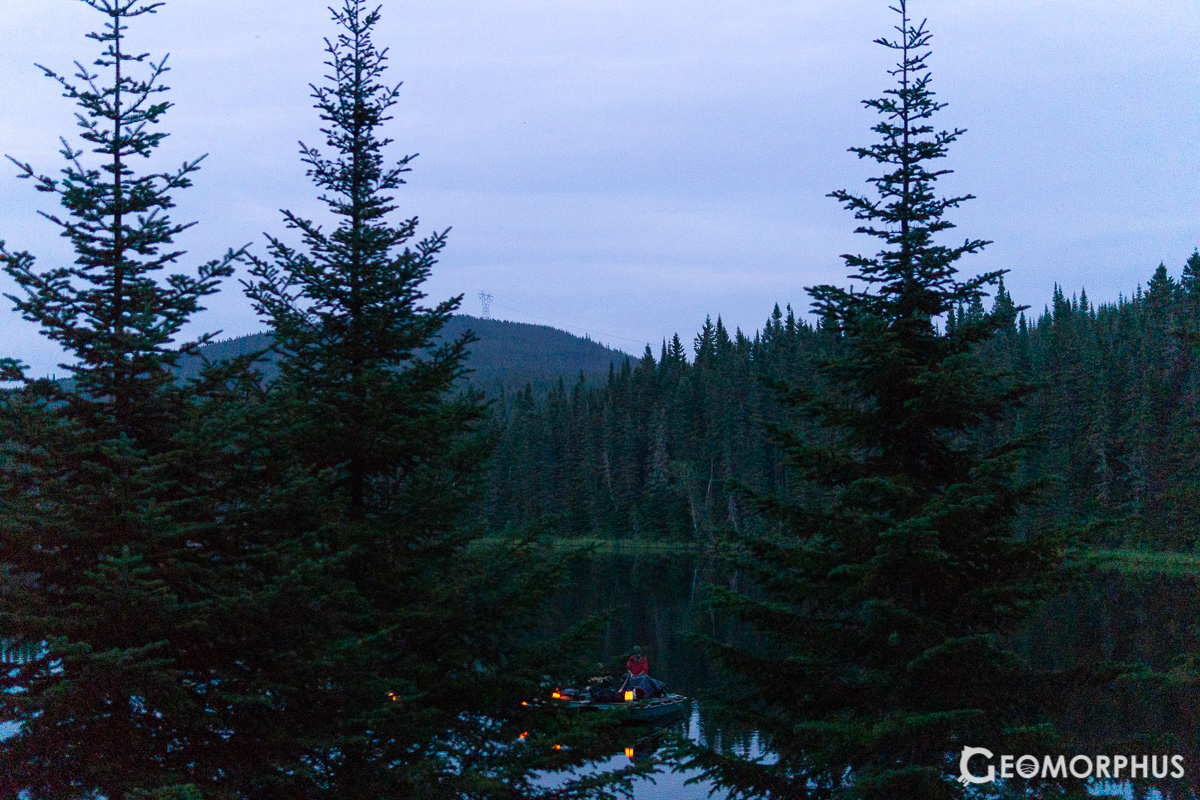
Once the sun set, we were treated to a Faunal Concert that empathised the importance of sustainable development for the preservation of natural habitats. The musicians took on the part of different animals native to the region, who played their instruments from boats floating in the lake under candlelight. The concert was absolutely one of the week’s (numerous) highlights.
Day 6 – Monday 6th August – Closing Ceremony
After a nervous but exciting wait, we received our medals and said goodbye [at] the closing ceremony - held partially in Laval and the Québec Congress Centre as part of the IGU Opening Ceremony.
I was absolutely honoured to have competed in the 15th International Geography Olympiad held in Québec City, Canada that past week. I had the time of my life, and I’m so so ecstatic to have been awarded a Silver Medal, coming 23rd overall and 2nd in the Written Response Test.
After the ceremonies we headed into [the Old Town], as it was time to celebrate [and conclude such a fantastic week!]
The closing ceremony was definitely a memorable experience (that recognised every participant’s achievements) and a lovely conclusion to an incredible week!
Aside from it being an academically challenging experience (because of the 3 rigorous tests), there was also a strong social and cultural aspect to the Olympiad. I learnt so much about our world’s diverse cultures through the opportunities for cultural exchange throughout the week.
It opened my eyes to a whole range of geographies that I previously hadn’t known much about, which is something I really value.
It really was one of the most memorable and exciting weeks I’ve had in recent times and is an experience that will stay with me for years to come.
Thank you Canada! It’s been awesome.
Video
https://www.youtube.com/watch?v=3d8xJ5ZLb9k
Thank you to sponsors, organisers and participants
I would like to extend a special thank you to Lloyds Bank International, UHY Crossleys and several family members for their generous support with the costs associated with participating in iGeo.
I would also like to thank the Team UK Team Leaders, the other iGeo Participants, the UK’s Geographical Association, the iGeo Organizing Committee, the iGeo task force and the dedicated Canadian volunteers for helping to make it such a special week in Canada.